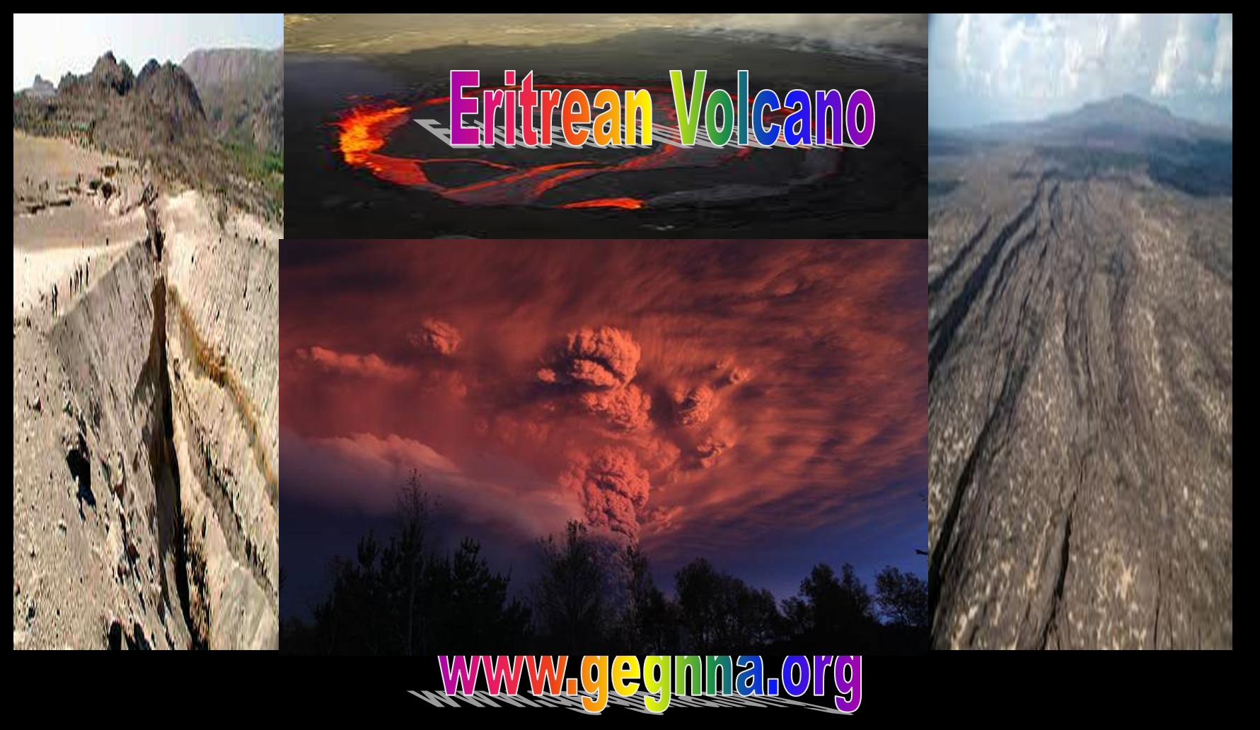
The volcano of the Horn of Africa are set in motion by exploding in Eritrea for the making of the most expected Ethiopian ocean. It set in action as we have foretold in this site in previous articles. Many geophysicist and seismologist thought it will take millions of years to split the horn of Africa. But we have explained in serious of articles that it is in the end of the millions of years phase, and even in our time we will see the opening of the new ocean.
It is very simple to give a reality description of events but the true prediction we have been making will save thousands of live if the government of the region start evacuating the population and stop damming the region.
In the evening of June 12 2011, a series of earthquakes struck the Afambo, Eritrea area. The earthquakes were followed by 2 strong 5.7 earthquakes. This pattern will continue till the final breaking of the Horn from the rest of the continent of Africa.
http://www.youtube.com/watch?v=RbTwU9k5THU&feature=player_detailpage
http://www.youtube.com/watch?v=Jy8e1mqhgsE&feature=player_detailpage
UPDATE 21:36 UTC : Some more information on the volcanic complex :
Mallahle is the central of three NE-SW-trending stratovolcanoes in the Danakil horst SW of Dubbi volcano, and lies SSW of Nabro volcano.
These two volcanoes, along with Bara Ale and Sork’Ale, form the Bidu volcanic complex. The complex Mallahle stratovolcano is truncated by a steep-walled 6-km-wide caldera. Mallahle is formed of rhyolitic lava flows and pyroclastics. Basaltic lava flows blanket the slopes of the
volcano. Recent obsidian flows are found on the NW flank of Mallahle and older obsidian flows were erupted on the northern caldera floor.
Flank spatter and scoria cones are most numerous on the western side of the volcano. Extensive ignimbrite deposits associated with the collapse of Mallahle and Nabro volcanoes blanket the countryside.
UPDATE 21:28 UTC : These magnitudes can lead to serious damage if the epicenter is below or very near to Afambo (which is very nearby based on the seismological data) . We do not think that there will be injured people as the series started with moderate earthquakes and as people will stay on the streets after so many earthquakes. The current situation tends to become very dangerous.
UPDATE 21:23 UTC : A Mw5.7 has been also recorded at depth 9km in around the same area. No record of damage has yet been recorded.
UPDATE 21:03 UTC : Lucas Tavares reports in our Facebook page : I was studying about this volcanoes past hours. Maybe the shakes surrounds the Mallahle or Nabro Caldera, there is’nt any known eruptions of these volcanoes! Shakes are becoming stronger!
UPDATE 20:58 UTC : We have still no trace (as expected) of what is really going on. This last 5.4 earthquake can be damaging at this shallow depth when the epicenter is located below a village or town. As we are unsure of the exact epicenter (the error margin may be 10 to 30 km different than reported by the USGS).
UPDATE 20:56 UTC : The earthquakes are continuing with the last one as the strongest so far with a magnitude of 5.4 at a depth of 10 km.
UPDATE 20:33 UTC : We are more and more convinced that one of the nearby volcanoes went into an active status as the distance to the ridge fault is to big to create this kind of earthquakes. Additionally almost all the earthquakes are occurring near the volcano complex on the picture (courtesy Google Earth)
UPDATE 19:37 UTC : This unusual series of moderate earthquakes have also occurred a couple of months ago in the Gulf of Aden. The earthquakes are typical for separating irregular tectonic plates. The series in the Gulf of Adenhad their epicenter in the immediate area of the ridge fault.
Due to the close-by volcanoes, an eruption pattern of the Dubbi volcano is still possible. The pre-eruption pattern of both the Icelandic and Chilean volcanoes from the last few weeks is also present here. Compared to Iceland and Chile, Eritrea has other concerns than looking to beautiful eruptions. We will follow up these events and will come back to you as soon as we can get more data ?
UPDATE 16:11 UTC : Other agencies are reporting totally different and less dangerous numbers : GFZ: 4.9 @ 43 km and EMSC 4.7 @ 200 km
Moderate shallow earthquake with an epicenter almost below Afambo.
Approx. 15 km from the Dubbi volcano. The peak of the Dubbi volcano is 1625 m. There have been four known eruptions. In 1400 lava was determined to have reached the Red Sea while in 1861 ash was thrown over 250 km from the volcano. Two further events were suspected between 1861 and the 20th century.
During the late afternoon and evening of June 12 2011 a series of moderate earthquake struck at first near Afambo in Eritrea and later 100 km more to the south in Ethiopia. At the moment of writing, we do not know whether these earthquake have a tectonic or a volcanic origin.
Other moderate earthquakes which occurred after the first earthquake which is described in detail
M 4.5 2011/06/12 21:37 Depth 15.0 km ERITREA – ETHIOPIA REGION
M 5.7 2011/06/12 21:03 Depth 9.9 km ERITREA – ETHIOPIA REGION
M 5.7 2011/06/12 20:32 Depth 10.1 km ERITREA – ETHIOPIA REGION
M 4.8 2011/06/12 19:44 Depth 9.9 km ERITREA – ETHIOPIA REGION
M 4.7 2011/06/12 19:37 Depth 10.1 km ERITREA – ETHIOPIA REGION
M 4.5 2011/06/12 18:01 Depth 10.1 km ETHIOPIA
M 5.0 2011/06/12 19:21 Depth 10.0 km ETHIOPIA
M 4.7 2011/06/12 17:47:21 13.538 41.588 Depth 10.0 km ERITREA – ETHIOPIA REGION
M 4.8 2011/06/12 17:18:10 13.381 41.764 Depth 9.9 km ERITREA – ETHIOPIA REGION
M 4.3 2011/06/12 16:33:12 13.507 41.722 Depth 10.0 km ERITREA – ETHIOPIA REGION
M 4.8 2011/06/12 16:24:44 13.436 41.682 Depth 10.0 km ERITREA – ETHIOPIA REGION
M 4.7 2011/06/12 16:12:03 13.397 41.734 Depth 10.0 km ERITREA – ETHIOPIA REGION
M 4.5 2011/06/12 16:09:30 13.443 41.696 Depth 2.9 km ERITREA – ETHIOPIA REGION
Most important Earthquake Data:
Magnitude : 5.1
UTC Time : Sunday, June 12, 2011 at 15:37:05 UTC
Local time at epicenter : Sunday, June 12, 2011 at 06:37:05 PM at epicenter
Depth (Hypocenter) : 10 km
Geo-location(s) :
Almost below Afambo, Eritrea
128 km (79 miles) WNW of Assab, Eritrea
Source:
http://earthquake-report.com/2011/06/12/unusual-series-of-moderate-…
| Name | Elevation | Location | Last eruption | |
| meters | feet | Coordinates | ||
| Alid | 910 | 2966 |  14.88°N 39.92°E 14.88°N 39.92°E |
Holocene |
| Asseb | 910 | 2986 |  12.85°N 42.43°E 12.85°N 42.43°E |
Holocene |
| Dubbi | 987 | 5331 |  13.58°N 41.808°E 13.58°N 41.808°E |
1861 |
| Gufa | 600 | 1969 |  12.55°N 42.53°E 12.55°N 42.53°E |
Holocene |
| Jalua | 713 | 2339 |  15.042°N 39.62°E 15.042°N 39.62°E |
unknown |
| Mousa Ali | 2028 | 6654 |  12.47°N 42.40°E 12.47°N 42.40°E |
Holocene |
| Nabro | 2218 | 7277 |  13.37°N 41.70°E 13.37°N 41.70°E |
June 13, 2 |
Eruption
Satellite images showed a large eruption occurring shortly after 2200 UTC June 12, close to 1 AM East Africa Time, in the Southern Red Sea Region. The eruption created a large ash cloud near the Eritrea-Ethiopia border region, eventually extending over 1,000 km (620 mi) into neighboring Sudan.[6]
Forecasters predicted that the ash plume may reach Israel.[7]
Geology
The erupting volcano is located within the Afar Triangle, in the larger Danakil Depression that holds many other active volcanoes. However, neither volcano thought potentially responsible for the eruption has seen activity in the past century, with Dubbi last erupting in 1861 and Nabro remaining quiet for thousands of years. No eruption of Nabro occurred in recorded history.
Earthquakes
A series of earthquakes[8], including two at magnitude 5.7[9][10] struck the region in the hours preceeding the eruption. The tremors may be volcanic in origin.[11]
References
- ^ News, BNO (June 13, 2011). “VAAC: Eruption underway at Dubbi volcano in Eritrea”. Channel 6 news. Retrieved 13 June 2011.
- ^ News, BNO (June 13, 2011). “UPDATE 1 — Volcanic eruption in Eritrea sends plume into the air, …. WireUpdate. Retrieved 13 June 2011.
- ^ VAAC, Toulouse. “Toulouse VAAC – Volcanic Ash Advisories”. Meteo France. Toulouse Volcano Ash Advisory Centre. Retrieved 13 June 2011.
- ^ Vervaeck, Armand (June 13, 2011). “Eritrea volcano eruption : Ash cloud advisory extending further into Africa”. Earthquake – Report. Retrieved 13 June 2011.
- ^ Gubin, Anastasia (June 13, 2011). “Africa: Volcán Nabro erupciona lanzando cenizas hasta Sudán” (in Spanish). The Epoch Times. Retrieved 13 June 2011.
- ^ Duran, Jim; Warren Miller (June 13, 2011). “Dubbi volcanic ash cloud expands westward through Northern Africa”. The Weather Space. Retrieved 13 June 2011.
- ^ Masa, Israel. “ענן וולקני מהר געש באריתריאה מתקדם לעבר ישראל” (in Hebrew). Masa.co.il. Retrieved 13 June 2011.
- ^ A, Solomon (June 13, 2011). “Series of moderate earthquakes hit Eritrea – Ethiopia border region”. Ethiopian Journal. Retrieved 13 June 2011.
- ^ Earthquake, USGS. “Magnitude 5.7 – ERITREA – ETHIOPIA REGION”. United States Geological Survey. Earthquake Hazards Program. Retrieved 13 June 2011.
- ^ Earthquake, USGS. “Magnitude 5.7 – ERITREA – ETHIOPIA REGION”. United States Geological Survey. Earthquake Hazards Program. Retrieved 13 June 2011.
- ^ Stuff, NZ (June 13, 2011). “Quake swarm hits Ethiopia-Eritrea”. Stuff.co.nz. Retrieved 13 June 2011.


